Crow Wing Route
A 268 km route in Manitoba using the Crow Wing Trail to Emerson then returning on minor roads. Submitted by Rod Delisle.
STATS: Distance: 268 km | Elevation: 797 m | Recommended Days: 2-3
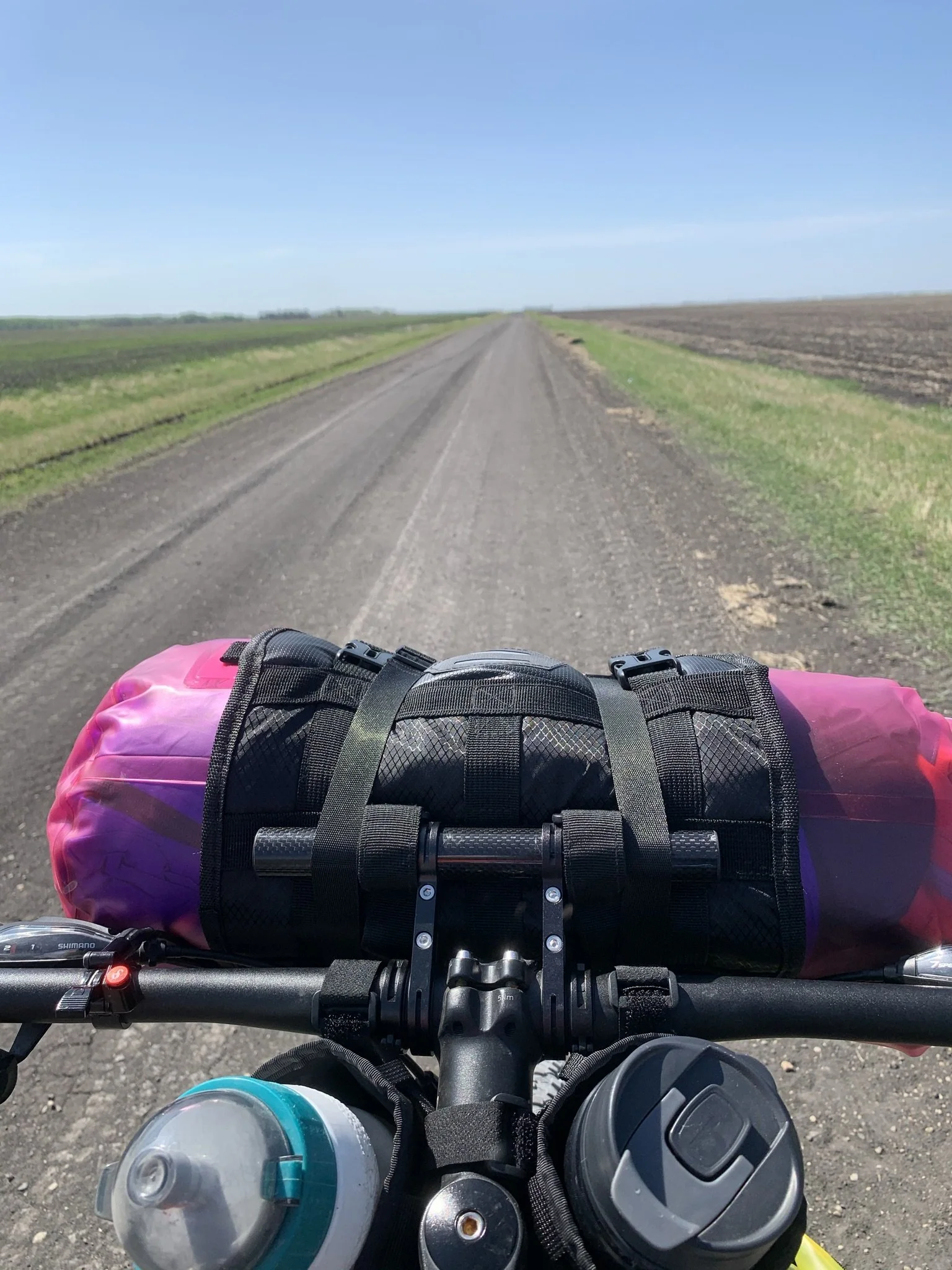
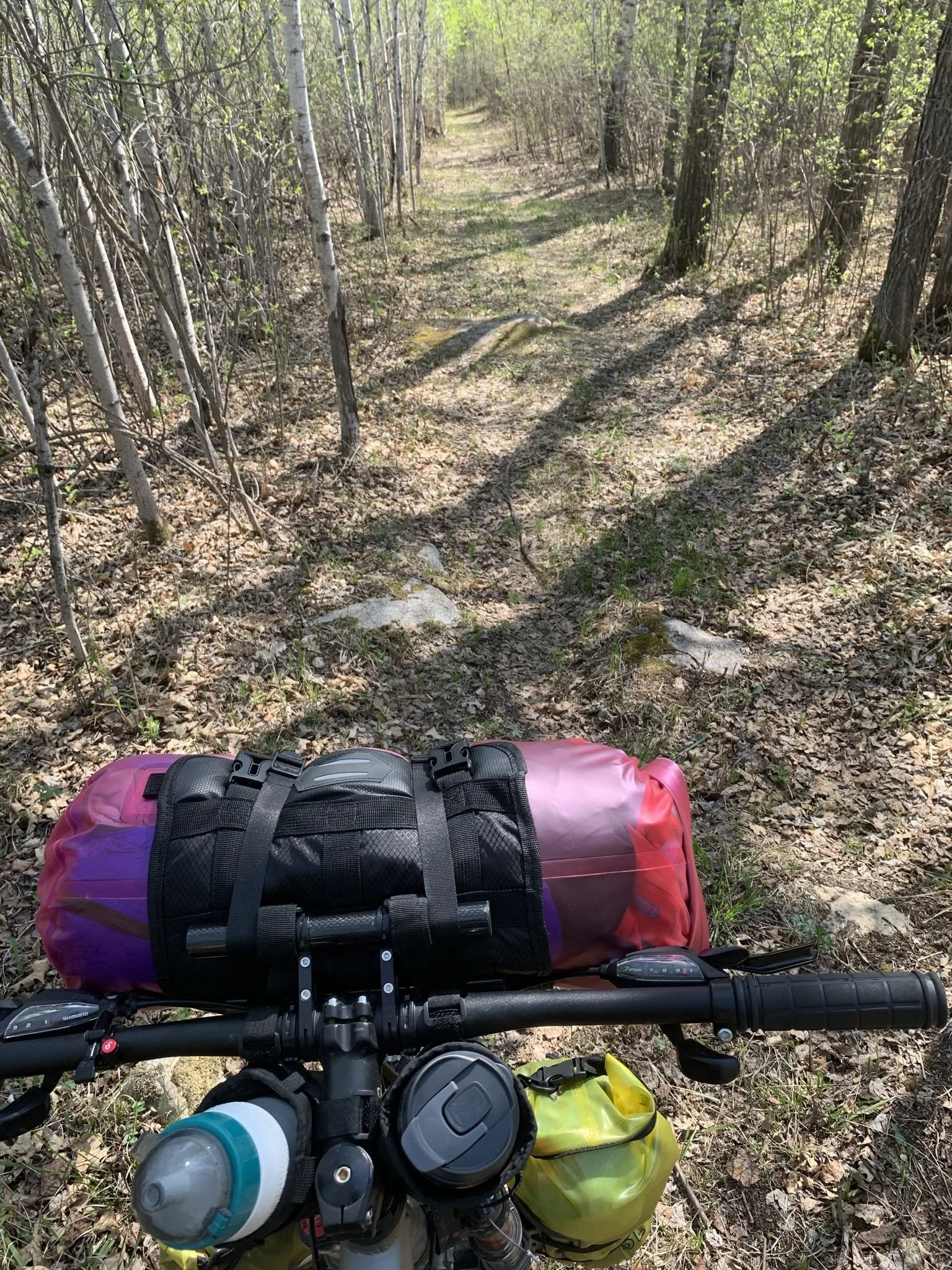
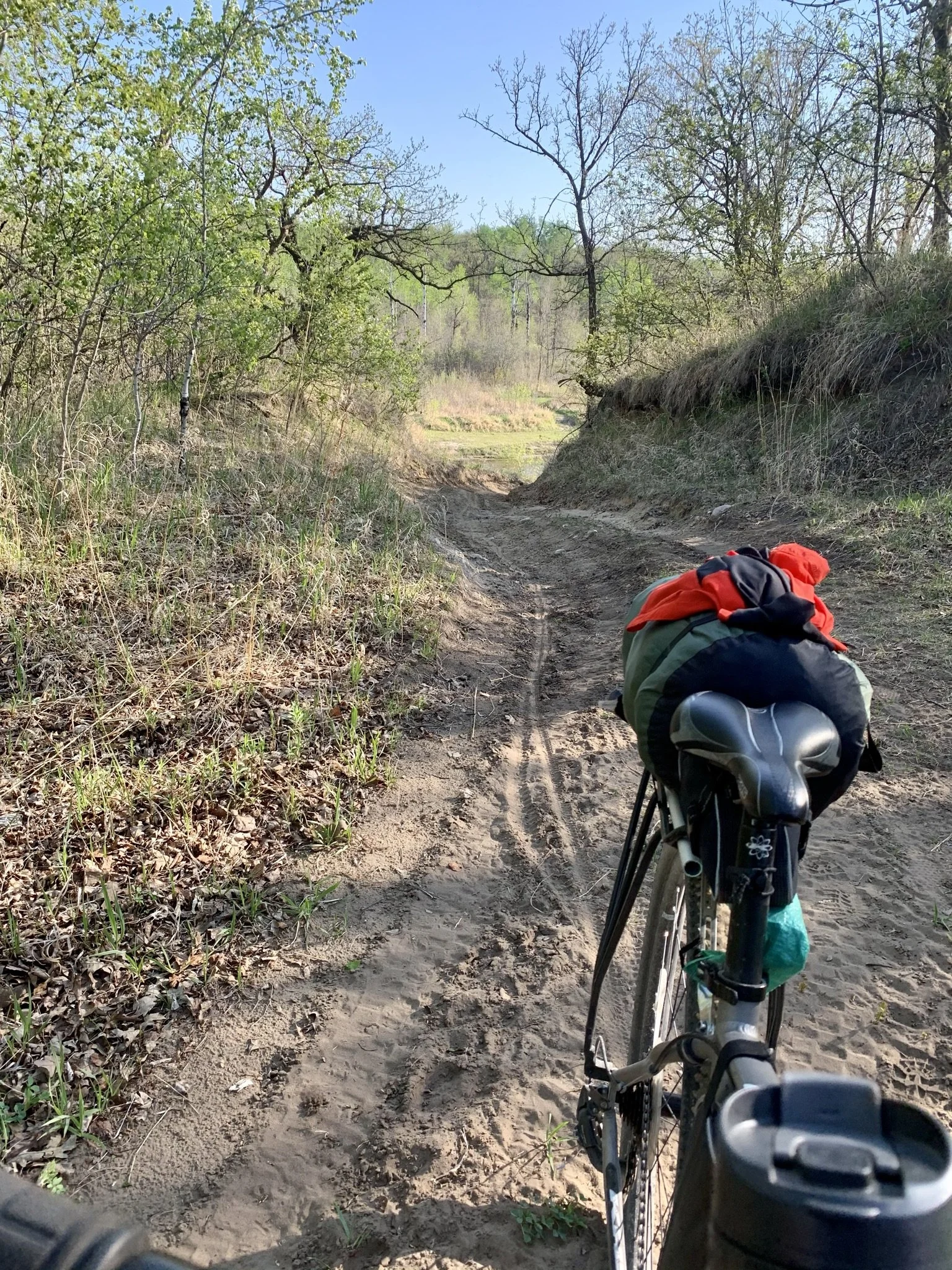
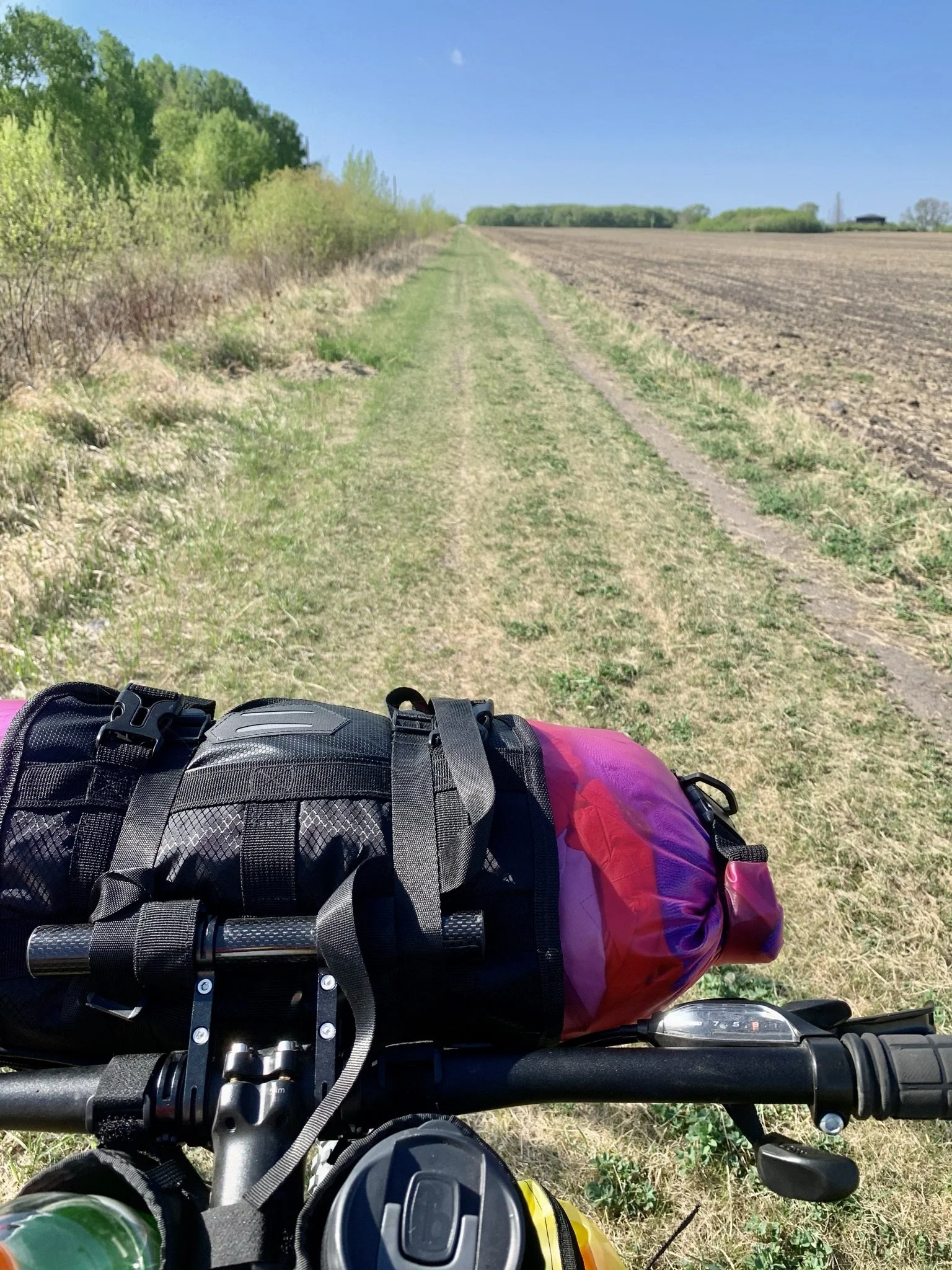
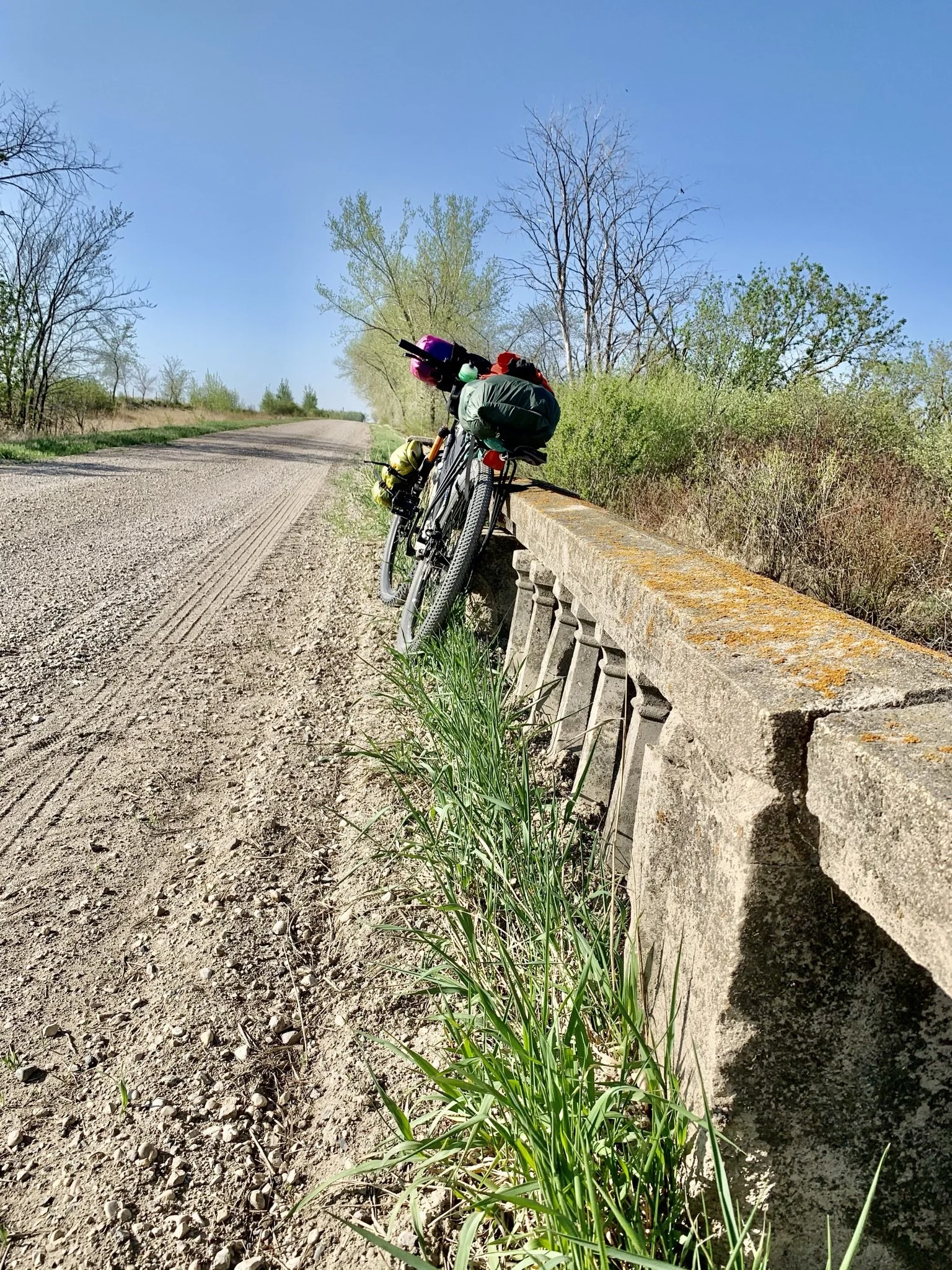
This 268 km route follows a lot of the Crow Wing section of the Trans Canada Trail headed South from Winnipeg to St. Malo then Emerson. The Crow Wing consists of mostly gravel and dirt roads with a few sections of double and single track. It then returns on mostly gravel roads and some pavement. There are many historical highlights along the way.
HIGHLIGHTS
Mennonite Memorial Landing Site https://www.mennotoba.com/the-mennonites-have-landed/
St. Pierre-Jolys Museum https://museestpierrejolys.ca/en/homepage/
St. Malo Provincial Park - (Beautiful beaches) https://www.gov.mb.ca/sd/parks/park-maps-and-locations/eastern/malo.html
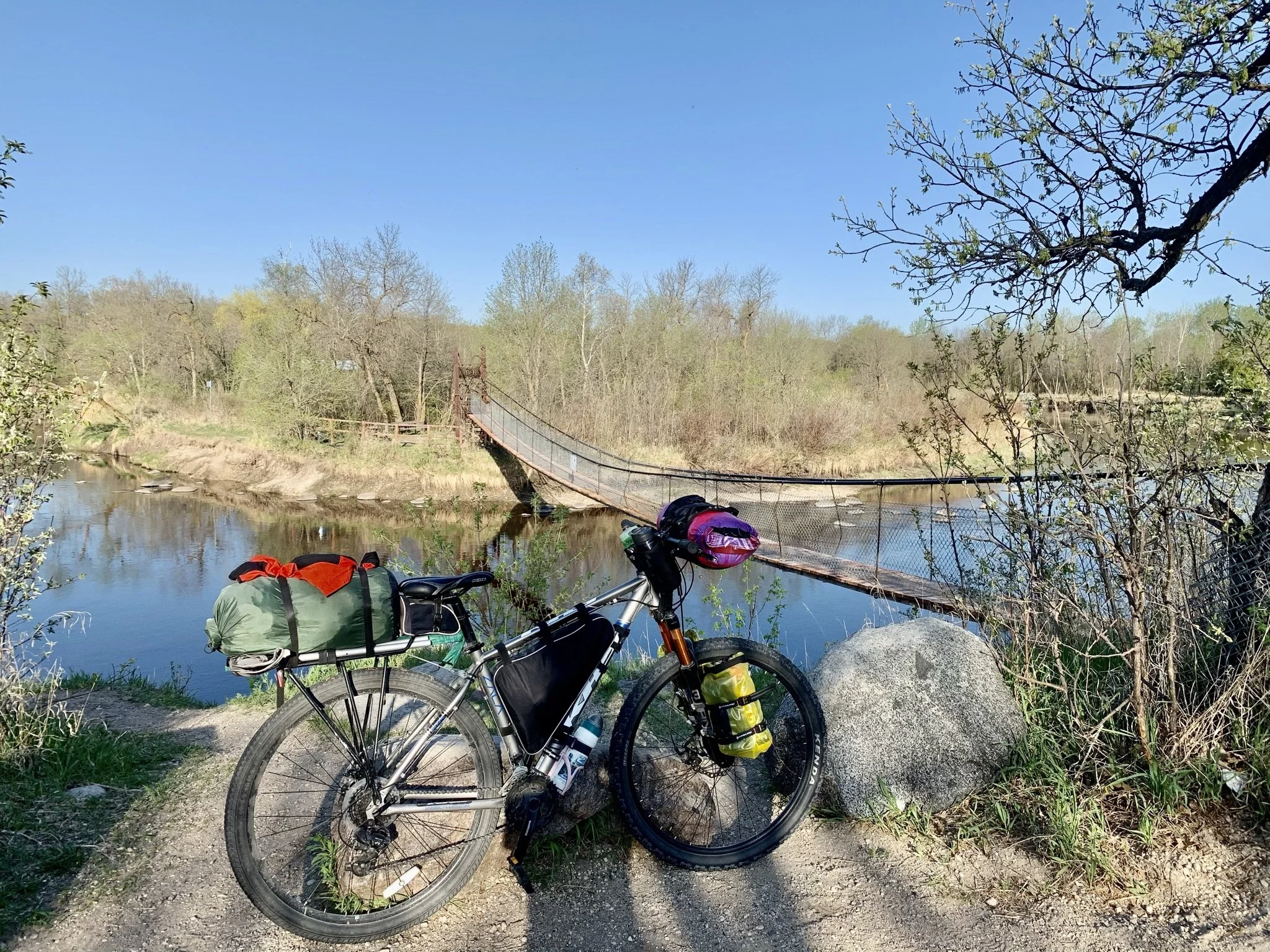
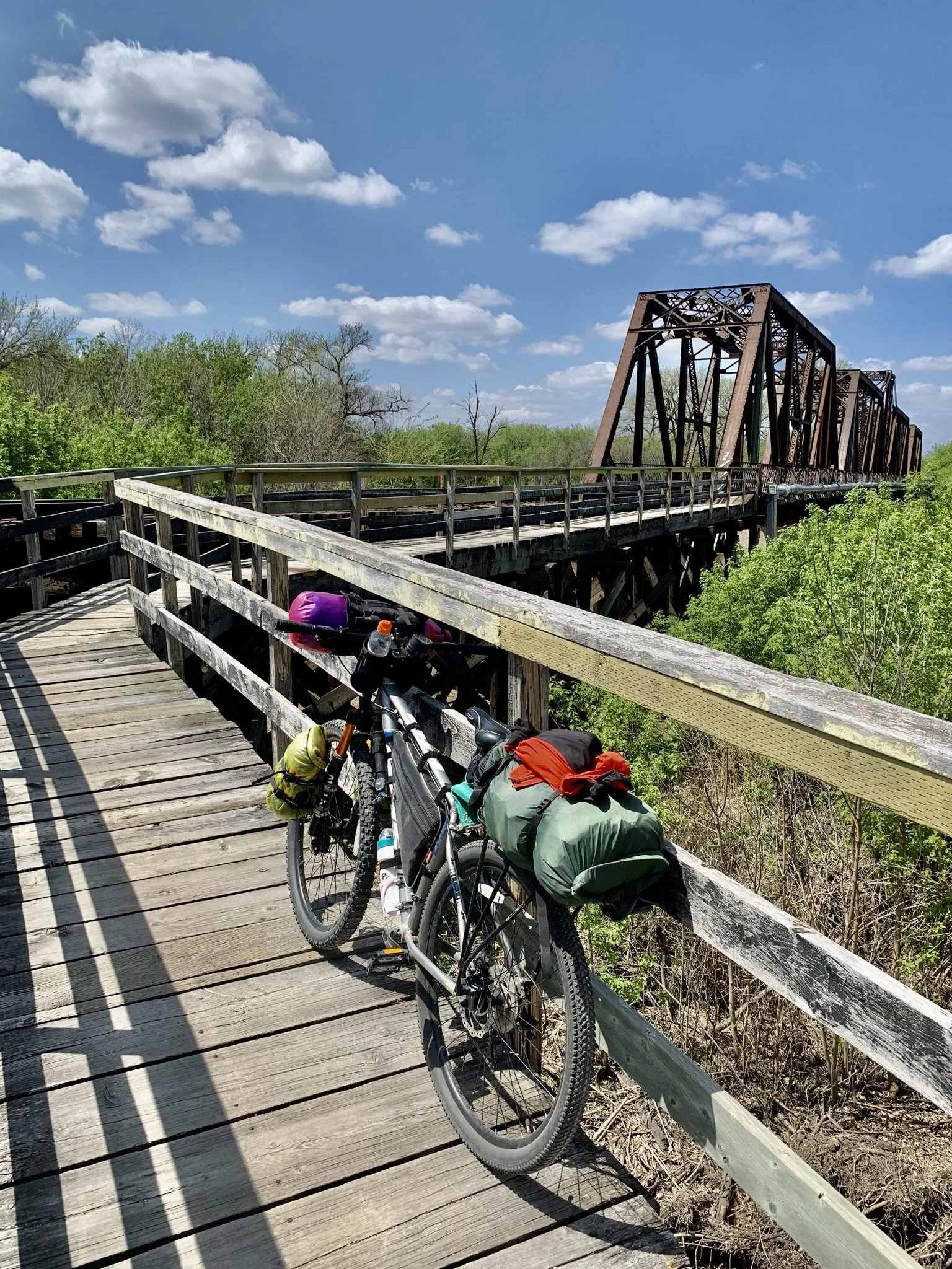
Senkiw Swinging Bridge https://www.historicplaces.ca/en/rep-reg/place-lieu.aspx?id=6376
THE ROUTE:
This route leaves Winnipeg on the paved shoulder of St, Mary's Rd/PR200 until the Mennonite Memorial Landing Site where PR200 crosses the Rat River. An alternative is to follow the Crow Wing immediately after crossing the Floodway which will take you through Niverville - this will add about 12 km to the route and follows mostly dirt and gravel roads. My route turned off PR200 at the Landing site where it follows the Crow-Wing Trail (http://crowwingtrail.ca/) into St. Pierre-Jolys and continues to St. Malo Provincial Park.
At 84 km into the route St. Malo is a great place to finish off the first day as it has a fantastic campground with beautiful beaches.
The route then follows the Crow Wing to the Senkiw Swinging bridge then south almost to the US border. The official Crow-Wing trail follows the border into Emerson, but this route instead follows a more manageable dirt/gravel road 1 mile to the North. 80 km from St. Malo to Emerson and two options for camping makes Emerson a good choice for the second night.
At Emerson you cross to the West side of the Red River following gravel roads to Morris then cross back to the East side of the Red for the return to Winnipeg on PR200 for 109 km on the third day.
The best time to ride this route is May thru September.
RESUPPLY:
St. Adolphe | St. Pierre-Jolys | St. Malo | Emerson | Letellier | St. John-Baptiste | Morris
Note: there is no resupply or water supply between St Malo and Emerson unless the restaurant in Ridgeville happens to be open (hit and miss) https://www.facebook.com/Ridgeville-Club-475398556183650/
CAMPING:
St. Pierre-Jolys - RV campground - may allow tents, call to check https://www.villagestpierrejolys.ca/p/rv-campground
St. Malo Provincial Park https://www.gov.mb.ca/sd/parks/park-maps-and-locations/eastern/malo.html
Emerson Centennial Park Campground http://www.townofemerson.com/emerson-recreation.html
Emerson Prairie Oak Campground - Not ideal for tents but an alternative https://www.prairieoakcampground.com/
Morris Scratching River Campground https://www.townofmorris.ca/visiting/camping/

