Eastern Kettle Valley Railway
538 km point-to-point from Kelowna to Kimberley, BC. Mapped by Guy Stuart
Summary
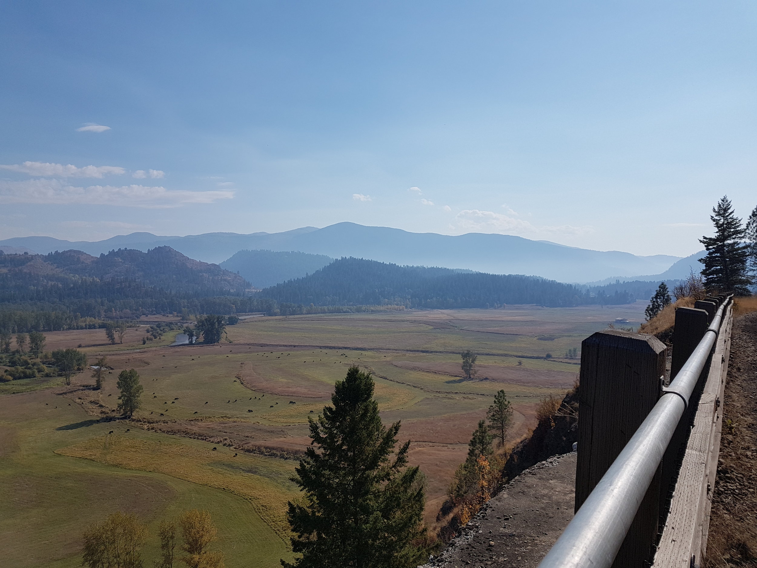
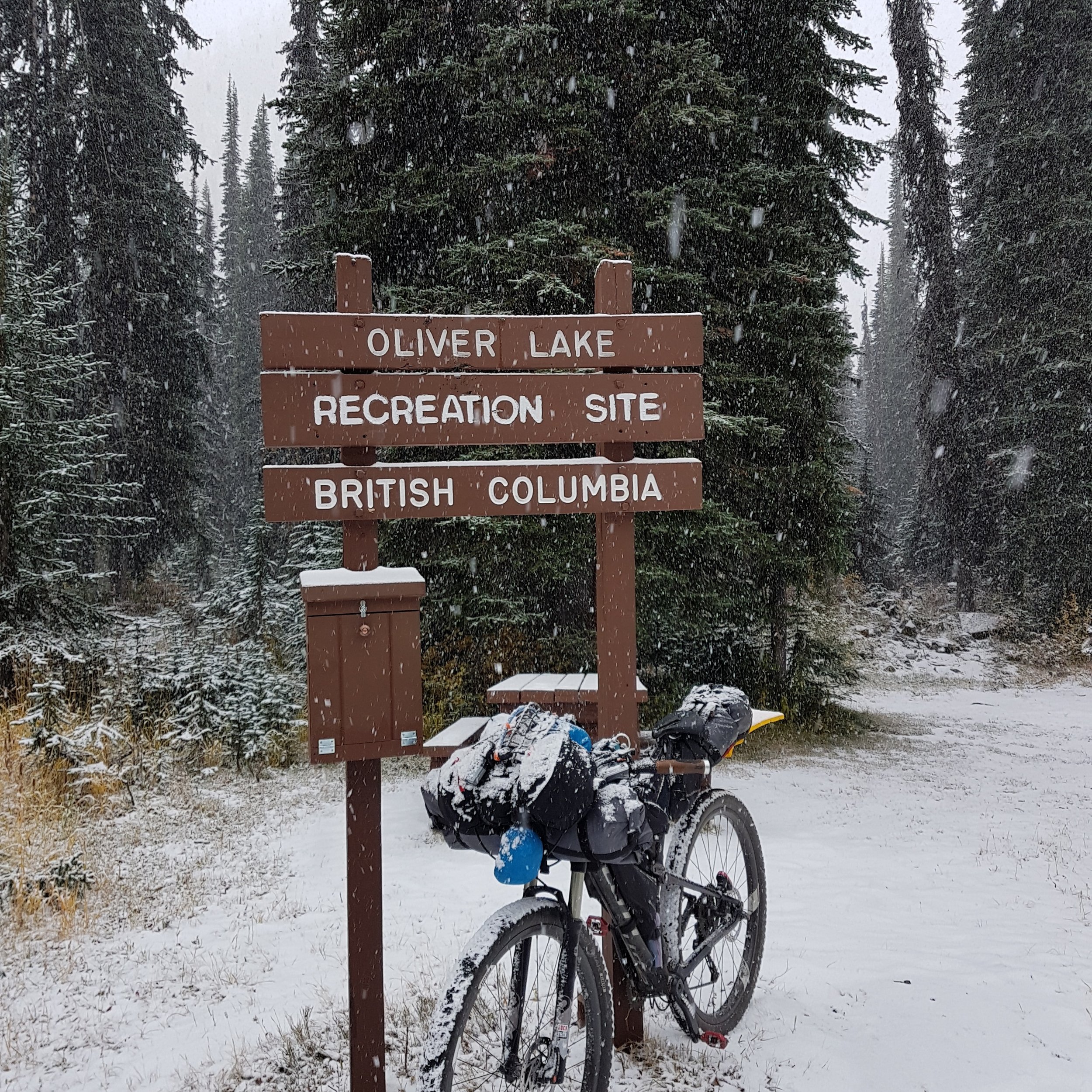
The entire route is very scenic with many vistas to savour. Total elevation gain is about 5,740 metres, the majority is done on railway and highway grades, with only Gray Creek Pass presenting some sections of hike-a-bike. There are options for re-supply, camping, lodging and meals at regular intervals. Myra Canyon is the high point of the Kettle Valley Railway (KVR) and makes for about 150 km of mostly downhill rail trail riding to Midway where the KVR ends and the Columbia and Western (C&W) starts.
FURTHER READING
“This route was ridden in late September & early October 2017 while the fall colours were spectacular. Thanks to Lennard Pretorius of the BC Epic 1000 for his detailed mapping of segments of this route. ”


