Sugar Bush Stomp
A 332 km loop through “the maple syrup capital of Canada”. Created by Eric Betteridge and Jen Adams.
SUMMARY
Lanark County is known as “The maple syrup capital of Canada” for good reason. The sugar shacks, evaporators and collecting tanks of this industry form the backdrop for the Sugar Bush Stomp, a lively 330 km bikepacking route in the Lanark Highlands, Ontario.
Starting and ending in Almonte the route initially heads south before looping north in a clockwise direction towards Calabogie. It takes a fresh look at some of the terrain, services and scenery that make up the Log Driver’s Waltz and adds elements to create a challenging trajectory for the riders. With a focus on gravel and other unpaved surfaces the route takes the adventurous rider to corners of the county they might not otherwise experience.
Less than an hour’s drive from Ottawa, riders are in a different world from the nation's capital, especially as there are portions of the route without cellphone service. With short and punchy climbs and technical sections this route taxes the legs and while rewarding the rider with remarkable scenery.
DETAILS
The Sugar Bush Stomp starts out in a mellow manner on the well maintained roads and rail trail between Almonte and Carleton Place. There is a short section of unmaintained road just before Carleton Place as an appetizer, but the main course will not be served until you have had snacks in Almonte, Carleton Place and Perth, all of which have good eating establishments, cafes and breweries. After these three towns you will need to plan your refreshments a bit more carefully as the services are more spread out on the rest of the route.
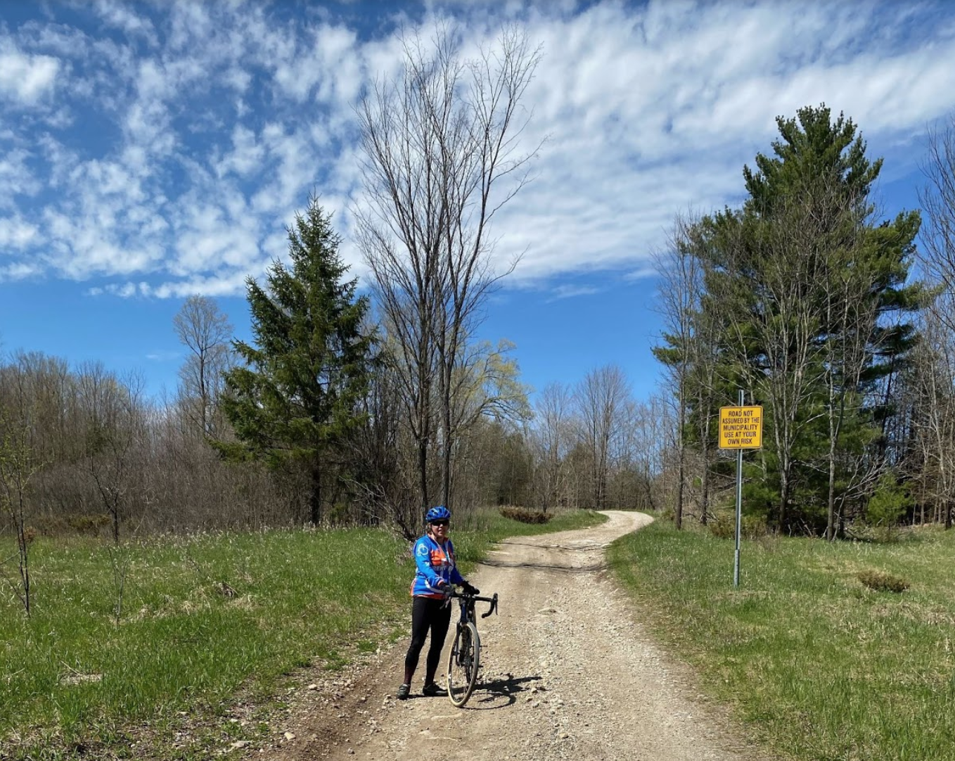
Looking at the profile of the route you can’t help but notice that the larger towns are in the first 70 km. This is the most populous portion of the route and so you can expect to find more pavement. At some point later on your trip you might look back fondly at the gentle start, as after you leave Perth the terrain soon kicks up. A harbinger of what is to come, you will hit two sections of unmaintained roadway before a short section on the MacDonald Corners Road which can have more and faster moving traffic, so take care. As you turn off onto the Bathurst Line it quickly becomes apparent that you have left the tarmac behind you for a longish while. Be prepared for some areas of overflow during wet times of the year.
As you ride along, keep your eyes peeled for old split rail and stone fences marking the edges of long forgotten fields. There are farmsteads to be seen, some merely the foundations, others in various states of disrepair. For contrast there are often renovated well manicured properties restored to their former glory and then some, seemingly in the middle of nowhere.
Signs of the maple syrup industry, for which Lanark County is renowned, are abundant. Modern technology involves blue plastic tubing feeding sap into large stainless steel holding tanks or drums. Sugar shacks with their distinctive cupolas for letting out the steam abound. Everywhere you will see woodpiles. Split cord wood neatly stacked or in conical piles. Saw logs piled by the side of the road from the previous winter waiting for pick up. Wood still has a vital role in the production of syrup and the heating of homes where the supply is plentiful.
If you are planning to wild camp along the way there are several places where you can do so on crown land. Just remember to “leave no trace”. In North Frontenac Highlands you must reserve a site in advance, but the benefit is that you will know it is there waiting for you at the end of day. Of course there are commercial campgrounds, BnBs, motels and inns so you can choose the accommodation that best suits your needs and style.
Lovers craft beer will be happy to see both the Calabogie and Cartwright Springs breweries along the route. You may miss the latter if you blink, even on a bike, so note its location carefully. Between Calabogie and Pakenham there is no resupply directly on the route. A detour to Burnstown will bring you to two cafes and a chip stand. Another one to White Lake will yield a corner store. Note the Calabogie Road can be busy with cars, trucks and boat trailers, so unless it is absolutely necessary try to avoid it. The is one short unavoidable stretch which is clearly marked on the map.
After the Burnstown Road expect to find some chunky unmaintained sections, some of it the worse for ATV wear and tear. You will also have some spectacular views over the Ottawa Valley towards the Eardley Escarpment. A sweet bonus of the route is Pakenham where you can have an ice cream while checking out the Five Arches Stone Bridge. Enjoy the mixture of rail-trail, gravel and pavement on the last segment into Almonte where you may wish to replenish your energy before heading for home.
LOGISTICAL NOTES
Recommended tire size for a loaded bikepacking bike on this route is 2.1 or 50c.
Note that cell phone service is not available on some parts of the route.
STATS
Distance: 332 km | Elevation: 3006 m
Primarily gravel and unpaved


